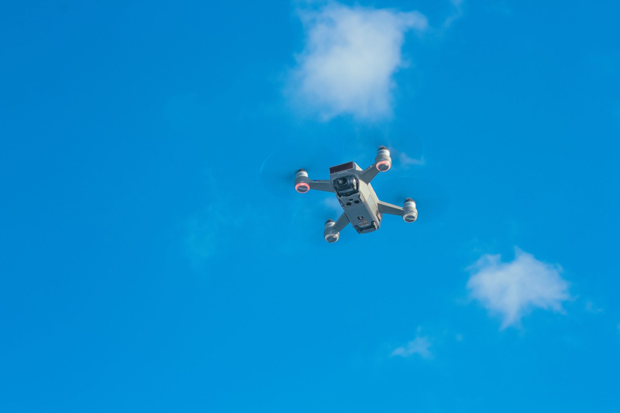
While companies used to rely heavily on planes and helicopters to get photographs, do site inspections, and measure project progress, today, they often use drones instead. Drones have several advantages over larger aircraft. These advantages save construction time which saves the client money. Drones also improve safety which means lower costs and fewer delays for everyone.
The fact that drones fly much closer to the construction site and gather more in-depth details is another advantage. Also, they have downward-facing sensors like multispectral, RGB, thermal, and LIDAR so that they can collect tons of useful information in a short time. Lastly, the construction industry uses the aerial survey drone with special sensors, also called drone mapping, to capture all the site data they need before, during, and after construction.
Because of the much lower cost, construction companies can use drones on their client’s behalf more often than planes or helicopters, which helps with planning and achieving construction deadlines. The lower cost, more efficient planning, and met deadlines help companies that hire general contractors make smarter, more cost-effective decisions.
What Drone Sensors Measure
While a standard visual sensor sees red, blue, and green light waves, multispectral sensors see these plus wavelengths outside the visible spectrum, like near-infrared and short-wave radiation. RGB color sensors recognize all shades of visible colors. It works by reflecting white light off objects. In the construction industry, these multispectral and RGB sensors help decision-makers evaluate the health of forestry and vegetation, which could determine where buildings are placed and what vegetation will be cleared. Without this technology, client projects take much longer because workers must survey on foot.
Thermal sensors measure heat which can represent safety concerns for both construction and client employees. For example, planners might want to know about dangerously high temperatures near fuel storage tanks. Drones help companies safeguard their construction workers and facility employees by maintaining safety, especially if the building site remains in use during the project.
LIDAR or Light Detection and Ranging sensors measure the distance to a target. Distance is measured by sending out short laser pulses and recording how long they take to return. The auto industry is installing LIDAR systems in cars to prevent accidents, but in the construction industry, these sensors measure things like vegetation growth and terrain depths on a work site.
There are six ways a construction company might use a drone:
Site Surveys
Before construction begins, engineers conduct a site survey. While they once depended heavily on larger aircraft and boots-on-the-ground survey teams, drones can provide the data engineers, architects, and designers need to see and evaluate a site.
An accurate site survey helps clients see how the new building might look next to an existing one. Maps might show drainage problems, elevation differences, or debris piles that need to be cleared. The information shows utility, phone, cable lines, and gas lines near the proposed site. Builders get a clear view of existing structures that need demolishing and trees that might need to be taken down. Drone pictures also show existing access roads. All the information engineers gather helps provide clients with accurate information they need to make decisions. Also, the better the information, the more likely the project will stay in a client’s budget.
Topography Terrain & Elevation Modeling
Drones with specialized sensors, cameras, and data collection devices can deliver the best topographic survey possible. The collected data helps architects build the 3-D and 2-D models and maps they present to clients. Before drones, gathering the information needed to create models was time-consuming and sometimes dangerous. An aerial survey takes a fraction of the time previous methods took so the client sees plans and models sooner and no one needs to hike through rough terrain to take pictures and measurements.
Light Detection and Ranging
Light detection and ranging, or LiDAR sensors, use light energy to scan and measure distances. As discussed above, the information gathered helps build the 2-D maps and 3-D models clients want. It’s also used to measure vegetation height and density. Such information helps clients plan building placement and landscape management.
Construction Progress Monitoring
Maps and aerial photographs keep managers current on everything from crew productivity to equipment placement and possible security breaches. With drone-provided maps and pictures, someone can sit behind a desk and zoom in on different areas to review construction progress and equipment placement.
Production delays increase any project’s cost. If a manager sees that a client’s project is behind schedule, they can step in to solve any problems. Realizing a piece of equipment needs to be moved to a different location prevents downtime and delays.
The real-time information the drone provides helps with security, too. Site managers watch for fence breaches to prevent loss. If equipment or machinery is missing, fast reporting to the police helps with recovery, and getting replacement equipment fast prevents the production delays that clients hate.
While someone would regularly walk a site and take a few pictures in the past, that method was labor-intensive and time-consuming. With a 15-minute drone flight, managers have the entire area in front of them whenever they want. Clients are kept better informed about work progress and any potential delays or problems.
Safety Inspections
Regular drone surveys help companies stay on top of changing worker safety conditions. For example, a supervisor might compare photos on the computer screen, zoom in, and seeing a potential problem, jump on the radio to get a worker to correct the problem before anyone gets hurt. When workers get injured, work on the client’s project stops until someone comes to replace the impaired person.
By watching for perimeter breaches, managers can also prevent civilians from entering a site and potentially being hurt. They can also ensure that their clients who continue to work in nearby facilities don’t go where they’re not safe. Using drones also makes site managers safer because they no longer need to walk through the site to keep track of what’s happening.
Thermal Imaging
Drones with thermal imaging or heat imaging capabilities use infrared sensors to illuminate a spectrum of light invisible to the eye. It’s called thermal bridging or heat transfer. While thermal capability was once an afterthought, more and more uses for the technology are discovered every day, and many drones have it.
For example, construction companies may need to know the thermal values of pipes they can’t easily reach otherwise. Hot spots could indicate metal fatigue, and a thermal camera could pick up dangerous radiation. Failing to detect these kinds of problems can be devasting for the building or site owners. The drone can detect body heat, letting people know where everyone is and when unauthorized people are on site.
Drones have several advantages over helicopters and planes for gathering information. For example, putting a plane or helicopter in the air to take pictures or capture information costs much more than sending a drone. The cost savings for the construction company translates to cost savings for companies that hire them. Drones can also fly much closer to the ground and maneuver in closed spaces. Because drones can maneuver, engineers also spend less time walking through construction sites.
The lower cost means companies feel free to send drones up to take a look much more often. That means they get the real-time information they need to keep projects on schedule, prevent accidents, track equipment, and maintain security on the job site.
All the information gathered by drones would normally either be collected by more expensive aircraft or time-consuming in-person boots-on-the-ground work, so when companies hire construction companies that use drones, work gets done faster and for less money. Costs are more predictable, and there are fewer delays.
Want to know more about how MDC can help? Drop us a line!